This week, I’ve been contributing to OpenStreetMap — a collaborative free software project that aims to create a free, editable map of the world
Unfortunately, not many people have heard about OpenStreetMap & it’s usecases. It powers Snapchat’s — Snap Map, DuckDuckGo, Brave Search, Wikipedia & much much-more. I have blogged about making the switch to FLOSS software, degoogling, digital minimalism on my phone, the importance of decentralizing & owning our digital-tools. This article builds on these principles.

OpenStreetMap is the only real alternative to Google Maps
Let’s not deny the fact that Google Maps is pretty good. Owing to it’s huge userbase & Google’s nasty “location sharing settings”. Many Android users don’t opt out of the automated “Wi-Fi & Bluetooth Scanning”.
They claim that you can opt out by appending _nomap to your Wi-Fi router’s
name. But, that only makes it stand out even more.
Assuming 99% of people don’t bother hiding their SSID after setting up their router. Other Google users can pin (your) nearby WiFi Acess Points & associate it with the GPS co-ordinates of that area. So that the next time a device queries Google’s servers for a location fix — it’d find that there’s a certain Wi-Fi AP nearby & doesn’t have to wait for a GPS signal.
This can be extensively used inside of malls, shopping complexes & stadiums where each shop has their own radio hotspot that can be used for indoor mapping. This technology already exists, across certain 4G mobile carriers it’s called MIMO & the upcoming hype around 5G. Indoor mapping, is going to get even more better.
Compared to Google Maps or any other proprietary equivalent:
- Can you use the map data on your own terms?
- Are your map-searches manipulated by ads & advertiser goals?
- Can your map app work 100% offline?
- Can you opt-in to tracking rather than opt-out?
- Can you build on top of the platform & extend it according to your needs?

With Google Maps, it’s a definite no.
Google owns the copyright, even when you contribute to improving their map. Google might reward your effort sending you a monthly newsletter talking about how your contribution is changing the world, when we all know it only enriches Google’s ecosystem.
I could not find any compelling alternative: something like Nitter for Google Maps?
I decided that it’d be better to improve a FOSS ecosystem rather than find privacy-protecting frontends to non-free services. Apple Maps is the next best proprietary platform to Google Maps, but it’s still a proprietary platform. That’s even more locked down to iPhones because.. ahem Apple.
I signed up for OpenStreetMap, & had to use multiple interconnecting extensible tools to contribute effectively. But it’s worth the hack!
Geolocation backend
I run a stock Android, a de-googled Android ROM. It was easy enough to get things working, all I had to do was flash a Magisk module, choose the required backends, enable the location permission & walk around a bit for getting a location fix.
Unfortunately, it takes some time to get things working because all of it happens locally, unless you choose to use Wi-Fi mapping with Apple or Mozilla’s location services, which again is only slightly better than Google’s. But I wanted to keep things offline.

Go to Settings > Location > Location Services > UnifiedNLP Settings
This setup is purely based on a satellite GPS signal, I needed a clear view of the sky. Cell tower positioning needed a bit more configuration. For that you get an OpenCellID API key. Open the GSM location settings and paste it in there, then hit sync and wait for a while. Once this is done, your phone gets to track towers offline, and doesn’t need to ping web services. But this would be annoying if you’re travelling and crossing borders frequently. But that’s not my case as of now.

Mapping!
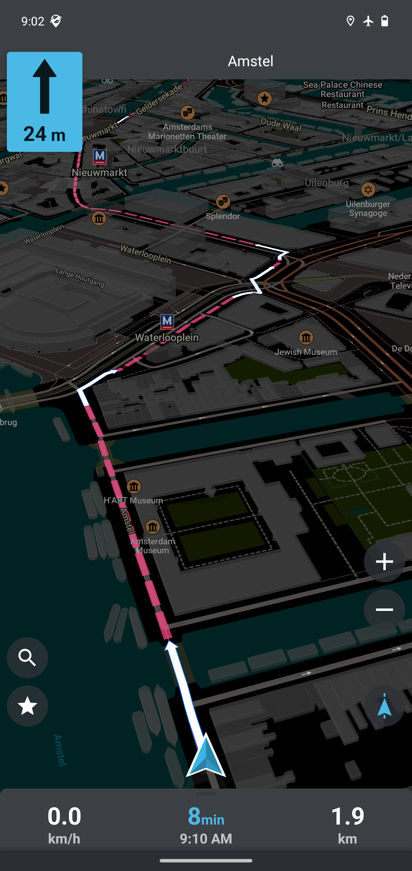
I downloaded OSMAnd from F-Droid, it prompted me to download a copy of a map of Karnataka, which I did. I went outside that evening and noticed that some shops I visited weren’t on the map. Little did I know that map updates aren’t instant on OSMAnd. They only have instant map updates as a pro feature which is ‘off’ by default, so you need to re-sync the offline map should you choose to.
Since this was my first edit I didn’t know about that. I added the place, logged in, and uploaded it to the OSM database when I reached home.
Keep in mind that
OSMAndis a FOSS map app for Android — that uses the public OpenStreetMap database, but is not endorsed by the OSM,OSMAndhosts their own copy of maps.
I realized someone had already submitted that node a few days ago & my copy was a duplicate 😅. Then I deciced to use the web editor exclusively for a few edits to earn enough credit and eventually unlock OSMAnd’s live update feature (It’s a paid feature otherwise). Turns out bandwidth is costly & unlike Google’s servers not everyone has the same kind of resources. But, hey I got it after a few edits! Which totally makes sense. Or I could have solely relied on the web-front end (but that would be a pain) 🤔
I was confused at first. It doesn’t have to be. I suggest you start your mapping journey with StreetComplete
Go for a short walk, log into your account, and start answering questions. It’s sort of like catching Pokémon, but actually useful rather than wasting time. It’s one of the quickest-ways to make edits. You can install all these apps from the PlayStore, should you want to.

As Sahil says: “it gamifies the whole data addition part by asking questions on missing nodes in your local area”.
-
Here are the F-Droid links!
Upgrades people, upgrades!
If you want something light, there’s Organic Maps
Best suited for Navigation rather than editing. The interface is buttery smooth. I use this app when I’m going on walks or cycling in my neighbourhood.
Track your workout
Whether you’re going for a marathon, or strolling by, OSMAnd features a ‘Trip Recording’ plugin that can be used to umm well — record your trips. Combine this with a workout and if you’re interested in analysing things you can figure out how you’re performing overtime. There’s probably an app on F-Droid for that.
Keep in mind all of this is offline, exportable & extensible!
Cell Tower scanning
As I’d mentioned before, just like WiFi APs, Cell Phone Towers can help fix your geolocation. You can associate cell towers with their geolocation co-ordinates. Google, Mozilla, Apple already do this. Mozilla is fine, but seems like these days they’re too loyal to Google (IIRC they now use Google’s location services for Firefox). I suggest using — OpenCellID, or use all of them if you don’t mind going online!
But how do you contribute back?
Mozilla had a project called Stumbler. But that’s pretty much dead now. Instead use TowerCollector, again available on F-Droid!

Just enable it & forget it. It’ll populate the map with tiny blue dots, each representing a cell tower your phone has made contact with. Don’t forget to upload your collected tower data, and there’s no need to use your token, you can submit data anonymously.

Dystopia
After going through this process. I’ve been exposed to so many different ways how cell phones can be used to track you, I mean just look at sheer number of cell towers that can accurately track you, if not already!
Also unfortunately after I turned 18, I can’t always keep my phone on ‘airplane mode’ like I used to. I need cellular access to receive normal unencrypted calls, OTP SMSs from banks & such. I guess it’s just the way it is.
P.S. I still prefer VoIP calls.
Join me in contributing to OpenStreetMap, one node at a time!
If you have free time, map some places around your neighbourhood.